.JPG)
.JPG)
1.JPG)
1.JPG)
.JPG)
.JPG)
.JPG)
| Paphia meiniana | Paphia meiniana | |
|
|
|
|
| Description:Flowers | Description:Flowers and leaves | |
| Location: Mt Lewis, North Queensland | Location: Mt Lewis, North Queensland | |
| GPS coordinates:16˚31.745S 145˚ 16.859E | GPS coordinates:16˚31.745S 145˚ 16.859E | |
| Date of photo:7 July 2013 | Date of photo:7 July 2013 | |
| Field No.:2201 | Field No.:2201 | |
| Paphia meiniana | Paphia meiniana | |
|
|
|
|
| Description:Flower | Description:Flowers | |
| Location: Mt Lewis, North Queensland | Location: Mt Lewis, North Queensland | |
| GPS coordinates:16˚30.787S 145˚16.109E | GPS coordinates:16˚30.787S 145˚16.109E | |
| Date of photo:4 September 2010 | Date of photo:4 September 2010 | |
| Field No.: U483 | Field No.: U483 | |
| Paphia meiniana | Paphia meiniana | |
|
|
|
|
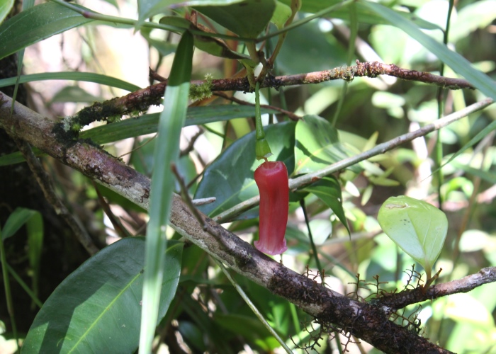
| Description:Plant | Description:Late flower | |
| Location: Mt Lewis, North Queensland | Location: Mt Lewis, North Queensland | |
| GPS coordinates:16˚31.745S 145˚16.859E | GPS coordinates:16˚30.787S 145˚16.109E | |
| Date of photo:7 July 2013 | Date of photo:8 August 2010 | |
| Field No.:2201 | Field No.:U484 | |
| Paphia meiniana | Paphia meiniana | |
|
|
|
|
| Description:Flowers | Description:Plant in habitat | |
| Location: Mt Lewis, North Queensland | Location: Mt Lewis, North Queensland | |
| GPS coordinates:16˚31.745S 145˚16.859E | GPS coordinates:16˚31.745S 145˚16.859E | |
| Date of photo:28 June 2015 | Date of photo:28 June 2015 | |
| Field No.: 3221 | Field No.: 3221 | |
Reference (accessed 28 September 2017):
Paphia meiniana, WetlandInfo, Department of Environment and Heritage Protection, Queensland,
Image use policy 
This work is licensed under a
Creative Commons Attribution-Noncommercial 2.5 Australia License.
Page created 29 October 2011
Page edited 28 September 2017
© Roger Fryer and Jill Newland 2011 - 2017